Viewpoint
Morro do Raimundo Viewpoint
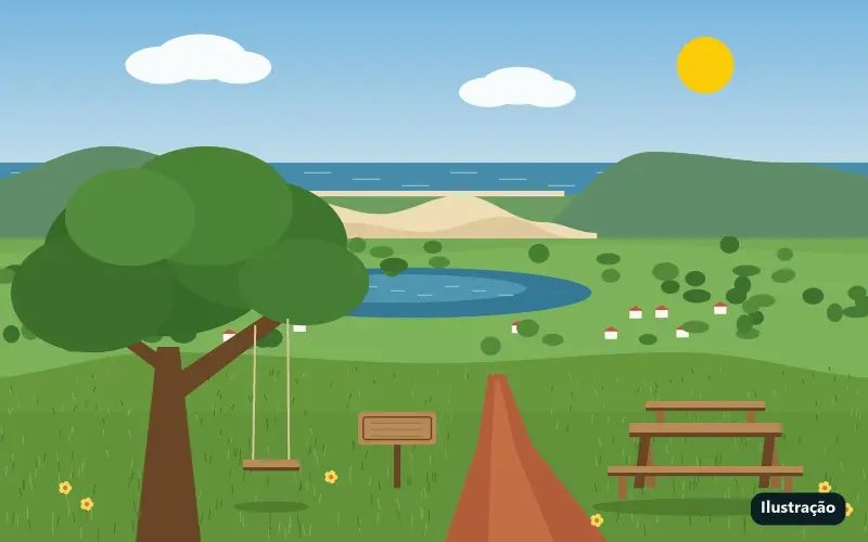
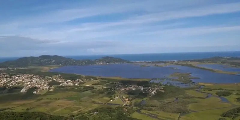
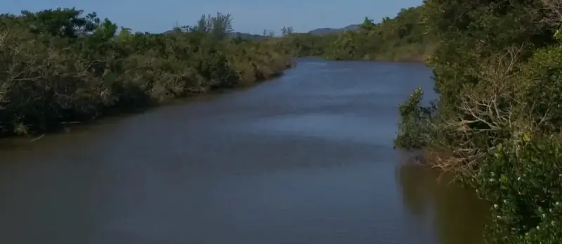
A hilltop lookout in Macacu, with a swing, a table and benches, overlooking Macacu Lagoon, the dunes and Siriú Beach.
From the Residencial: About 16.7 km by car
Open route in Google Maps (opens in a new tab) Waze (opens in a new tab)
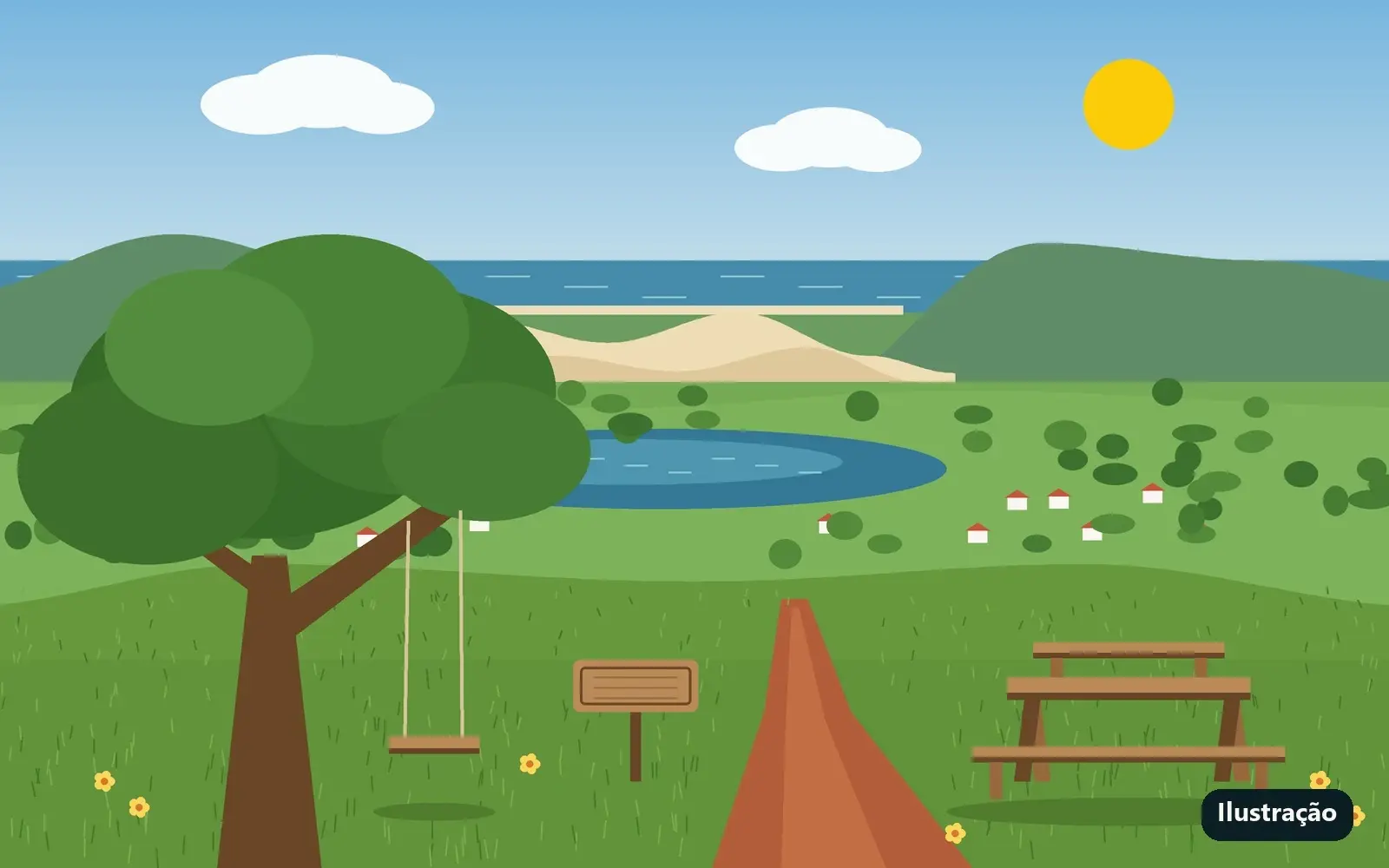
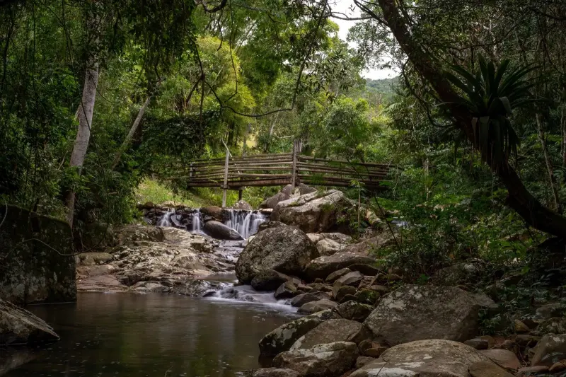
Photos: Ilustração do site, não é foto do local.
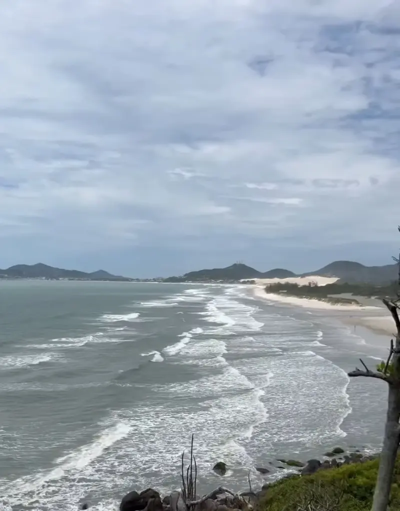
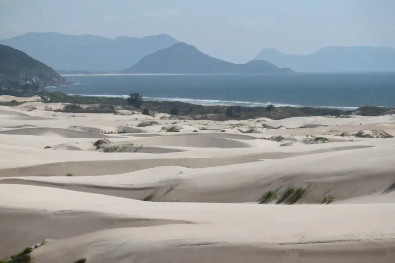
At the top of Morro do Raimundo, in the Macacu neighborhood, a sign welcomes you to the "Mirante do Vô Raimundo" (Grandpa Raimundo's Lookout). Locals fixed up the spot with a swing, a table and rustic benches, and from there you see Macacu Lagoon below, the Siriú Dunes and Siriú Beach behind the hills.
On the way, a sign points to a water spout fed straight from one of the hill's springs, in a forest clearing. It is a quiet outing, away from the busy beaches.
Points of interest
- Macacu Lagoon: below, seen whole from the lookout.
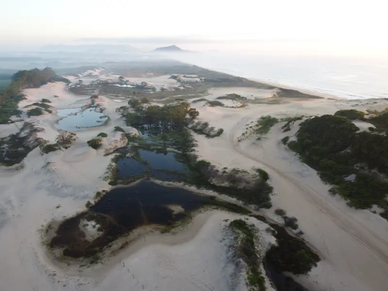
- Siriú Dunes: the dunes between the lagoon and the sea.
- Praia do Siriú: behind the hills, toward the sea.
- Water spout: along the way, in a clearing, fed by one of the hill's springs.
Getting there
Via the GRP-175 road in the Macacu neighborhood, using the Siriú Dunes as a reference. Cars and motorbikes go up the top road to near the summit; the last stretch, steep red clay, is best done on foot. There is also a harder trail that climbs on foot from below.
Features
A simple hilltop lookout with a swing, a table and benches made by locals; no toilets or shops. It is quite windy at the top.
Things to do
Enjoy the view of the lagoon and dunes, have a snack at the tables, swing with the scenery behind you and stop at the water spout on the way.
Safety tips
Bring insect repellent, as there are many mosquitoes in the forest, and water. The way passes near private land: respect fences and signs. After rain, the clay on the last stretch gets slippery. Take your trash back.
Source: Google Maps e vídeo do canal Invento na obra (opens in a new tab).