Viewpoint
Antennas Hill (Morro Ponta do Biguá)
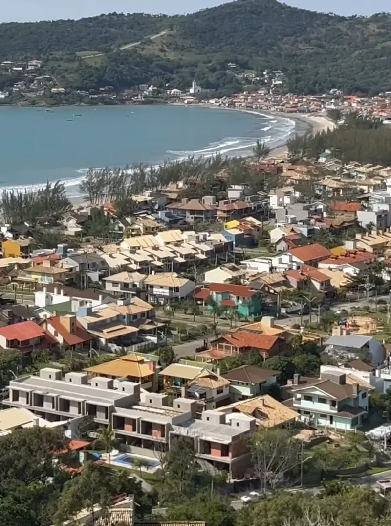
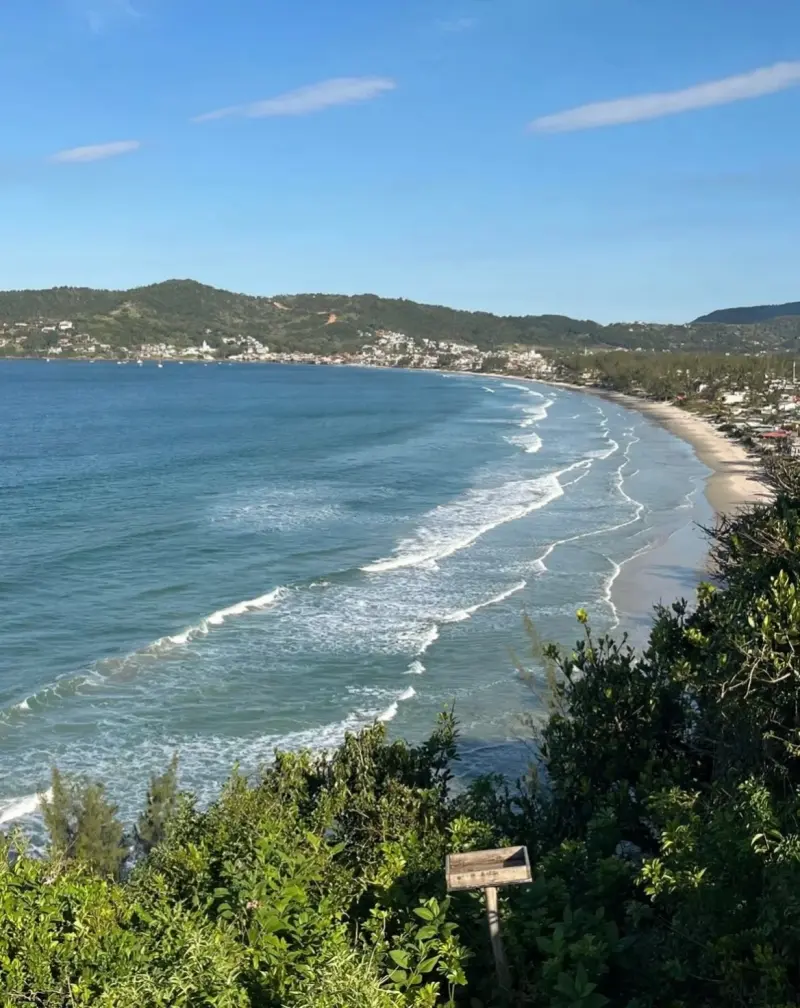
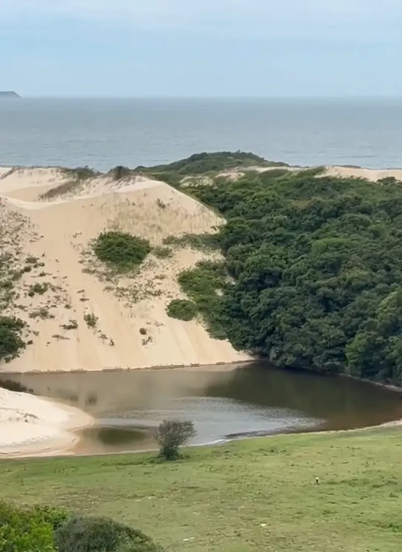
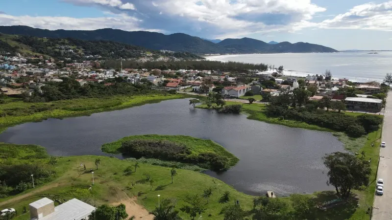
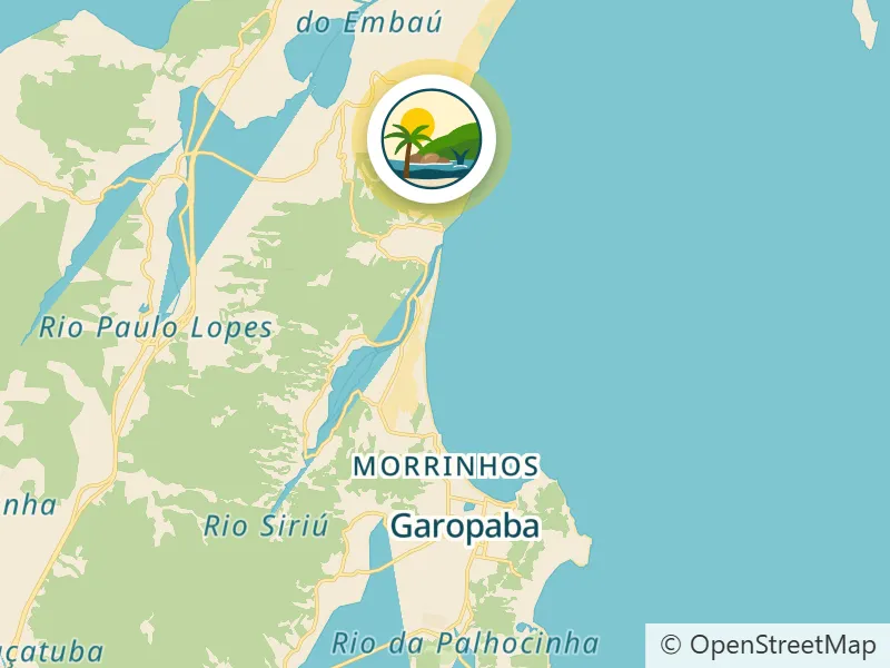
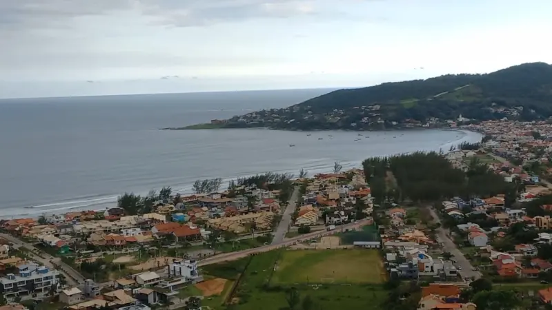
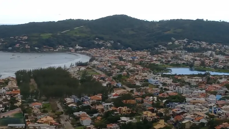
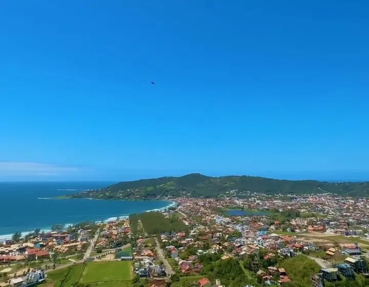
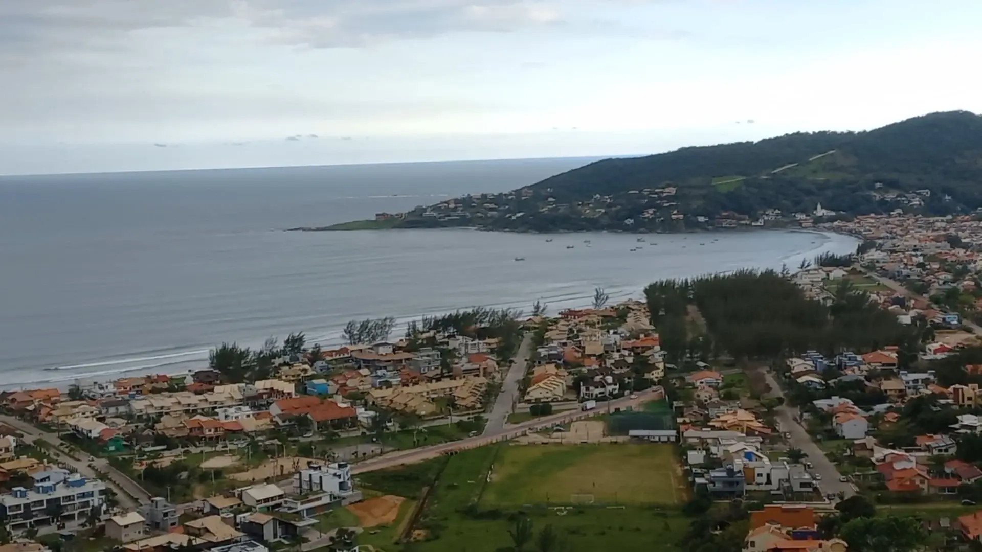
One of Garopaba's best-known viewpoints, overlooking the central beach, Lagoa das Capivaras and the Siriú Dunes; a road goes up to near the top.
From the Residencial: About 15.9 km by car
Open route in Google Maps (opens in a new tab) Waze (opens in a new tab)
-
-
-
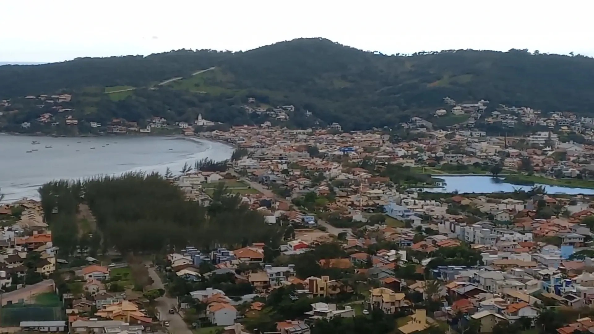
Photos: Garopaba Por Aí (@garopabaporai_tv) (opens in a new tab); PREFEITURA DE GAROPABA (opens in a new tab).
Morro das Antenas (Antennas Hill) is a hill of about 130 meters west of downtown Garopaba. Its old name, Morro Ponta do Biguá, appears on old nautical charts and in documents from the 1970s and 1980s; after telephone and internet antennas were installed on top, it became known as Morro das Antenas or Morro da Embratel.
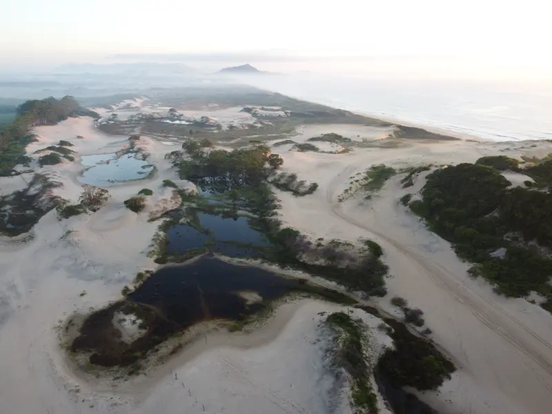
The view from the top is wide open: the bay and Garopaba's central beach, downtown and the Historic Center, Lagoa das Capivaras, the Siriú Dunes and, further on, Siriú Beach. There are no visitor facilities, just the scenery.
Points of interest
- Praia de Garopaba: the bay and central beach, seen from above.
- Garopaba Historic Center: the church and old houses at the tip of the bay.
- Capybara Lagoon: the town lagoon, right below.
- Siriú Dunes: the white dunes further north.
- Praia do Siriú: further on, on clear days.
Getting there
It is about 3 km from downtown by road. Access is via Rua Nereu Ramos, which climbs the hill; you can drive to near the top or walk up.
Features
A natural lookout on the hilltop, next to the antenna towers, with no toilets, shops or shade.
Things to do
See the town and the bay from above, take photos and watch the sunset. On clear days the view reaches all the way to Siriú.
Safety tips
There are no facilities: bring water and take your trash back. Do not enter the fenced antenna areas. On the road, walk up watching for cars. It is usually very windy at the top.
Source: Amo Garopaba Turismo, Prefeitura de Garopaba e OpenStreetMap (opens in a new tab).