Archaeology
Rock inscriptions
A shell mound and stone-tool workshops at Ponta do Casqueiro, traces of peoples who lived on the coast thousands of years ago, along the Casqueiro Trail.
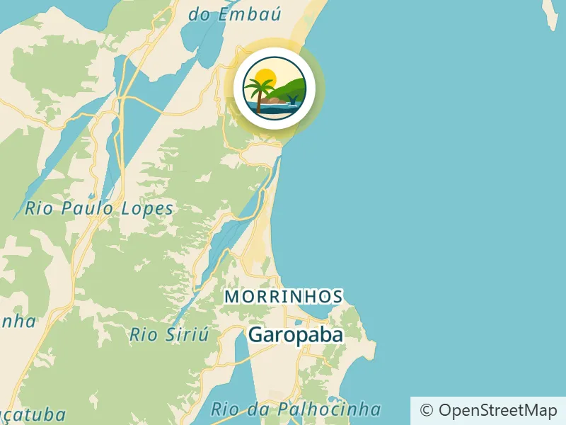
From the Residencial: About 18.9 km by car
Open route in Google Maps (opens in a new tab) Waze (opens in a new tab)
-
-
-
-
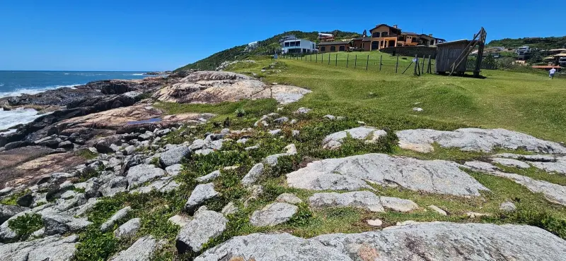


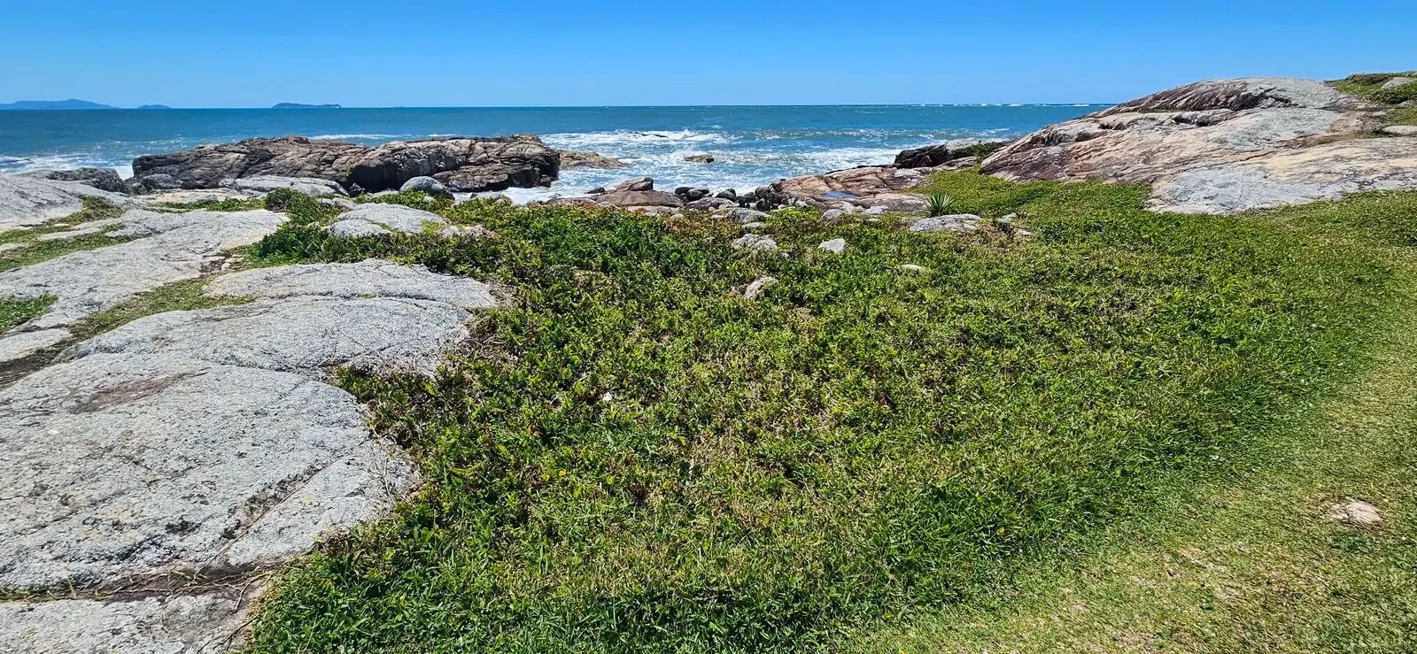
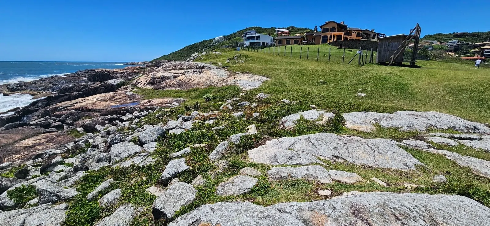
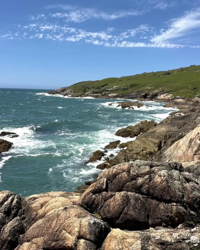
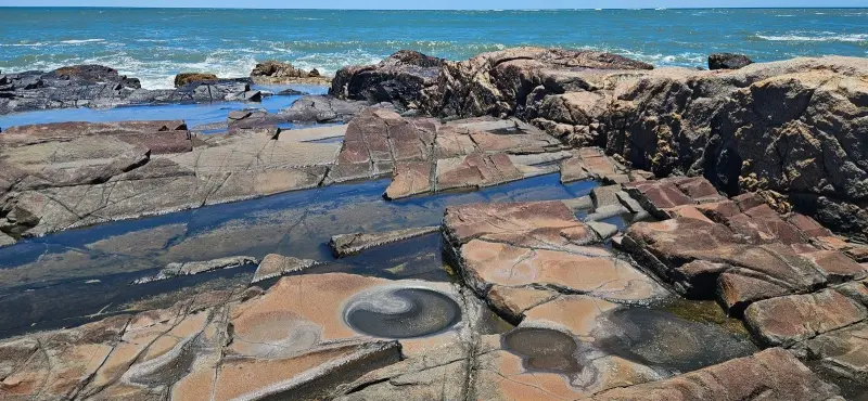
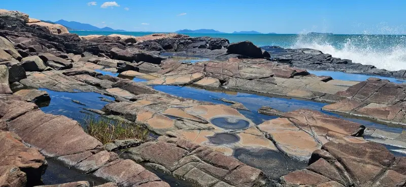
At Ponta do Casqueiro, on the Casqueiro Trail (also called the Vigia Trail), are traces left by peoples who lived on the Santa Catarina coast thousands of years ago: the Ponta do Casqueiro sambaqui, known as Cemitério das Conchas (the shell cemetery), and lithic workshops on the seaside rocks.
A sambaqui is an archaeological site formed by piled-up shells, bones, stones and food remains. In the lithic workshops, those peoples polished and sharpened stone tools on the rocks, and the grooves are still visible today.
Points of interest
- Casqueiro Trail: the path past the shell mound and stone-tool workshops.
- Casqueiro Natural Pools: further along the trail.
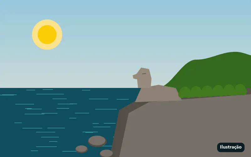
- Sphinx Rock: on the same stretch of coast.
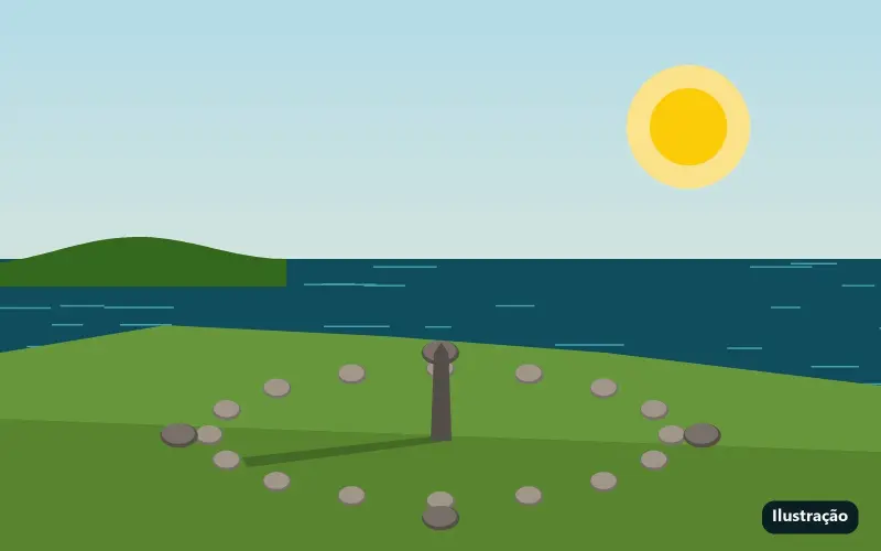
- Indigenous Solar Observatory: on Ponta da Vigia, at the start of the trail.
Getting there
Along the Casqueiro Trail, which links Praia da Vigia to the north end of Silveira Beach: about 3.6 km over the headland, moderate, between 0 and 67 m of altitude, around 3.5 hours at an easy pace. Ponta do Casqueiro is on the first part of the route, starting from Vigia. Free access.
Features
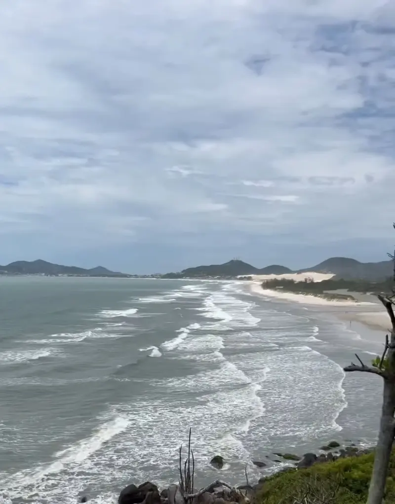
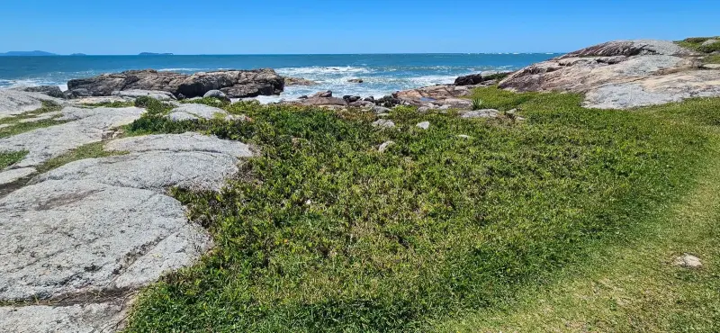
An open-air archaeological site on the headland, surrounded by rock formations, with a panoramic view of the coast.
Things to do
See a shell mound and the polishing grooves in the rocks up close, then continue along the trail to the Casqueiro natural pools, with crystal-clear water sheltered by a large rock. The Indigenous Solar Observatory and the Vigia Viewpoint are at the start of the trail.
Safety tips
Archaeological sites are protected heritage: do not remove or scratch anything. There are no lifeguards at the natural pools: avoid rough seas and watch out for sea urchins.
Source: Site oficial de turismo de Garopaba (opens in a new tab). Information checked on 10/01/2026.